

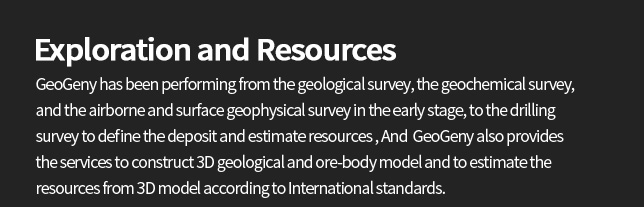
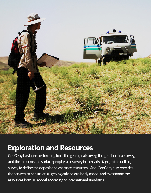

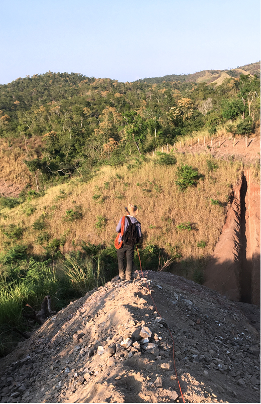
Geological Survey
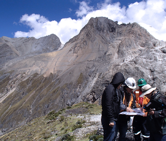
Geological Survey
Geological Survey provides basic data for 3D geologicaland ore-body models essential to estimate resources and
establish optimized mine plan. GeoGeny has experienced
the geological surveys for various minerals in different
regions, and provides the information for making decision
through the accurate and efficient geological survey
by GeoGeny experts.
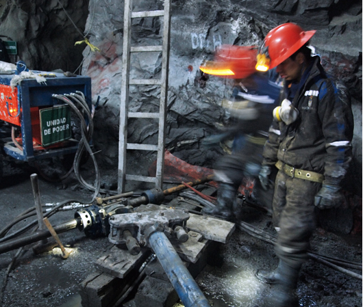
Drilling Survey
Drilling Survey
Drilling Survey is necessary process to estimate theaccurate resources for mine development. GeoGeny
provides the optimized technical services for the
entire drilling steps as like selection of drilling
location, drilling performances and core analysis,
based on the various field experiences in the
oversea and domestic projects.
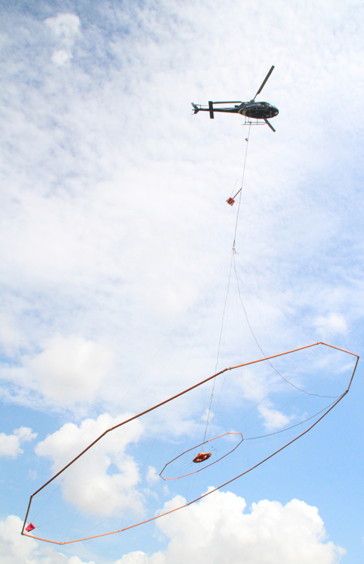
Geophysical Survey
GeoGeny services the airborne and surface Geophysical Survey on the oversea and
domestic mine or civil projects, and provides information of mineral resources,
geological structures and geotechnical characteristics from these survey results.
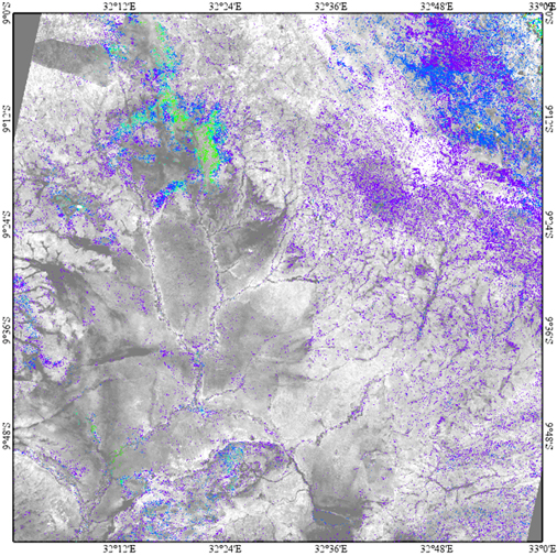
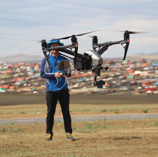
Remote Sensing
GeoGeny makes plans of site investigations by analyzing regional linearment
using the results of remote sensing and characterizes the regional geology
using the results of multi spectral image analysis. Specially GeoGeny services
remote sensing technology to acquire detail topography data and predict
underground cavities etc. by Drone survey.
3D Geological Modeling
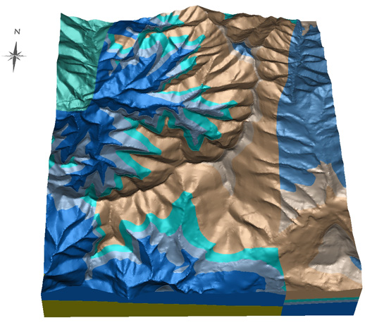
3D Geological Modeling is closely related to analysis of the structural
geology and geological information, geophysical and drilling survey and
3-dimensional understanding of deposit etc.. GeoGeny provides the
3D geological model used basically in resource estimation to improve
project success rate, reduce exploration risk, secure mining stability
and reduce cost, based on the experiences from integrating and analyzing
geological, geophysical and drilling data etc. for the various oversea
and domestic projects.
![]() 3D transformation of the past investigating and exploring
3D transformation of the past investigating and exploring
data and mining data
![]() Integration and management of 2D and 3D GIS data
Integration and management of 2D and 3D GIS data
![]() DB construction of geological information, structural
DB construction of geological information, structural
geology data, geophysical survey data and drilling
data etc.
![]() Integrating analysis of geological and geophysical
Integrating analysis of geological and geophysical
survey data
![]() 3D geological and ore-body modeling
3D geological and ore-body modeling
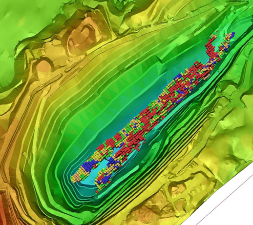
Resource Estimation
3D Geological Modeling is closely related to analysis of the structural
Resource Estimation requires the experts who are able to interpret ore
deposit comprehensively based on structure geology, deposit geology and
geostatistics. GeoGeny has several experts who have experienced geological
or geophysical survey, construction of spatial DB, 3D geological modeling
or estimation of resources for various mines. GeoGeny estimates resource
and provides technical reports of resource estimation according to the
reasonable standards based on experts' experiences.
![]() Sampling, analyzing results and QA/QC review
Sampling, analyzing results and QA/QC review
![]() DB management of investigating and surveying data
DB management of investigating and surveying data
![]() Drillhole optimization for for resource estimation
Drillhole optimization for for resource estimation
![]() Constructing 3D geology, structure and mineralizing
Constructing 3D geology, structure and mineralizing
model
![]() Analyzing basic statistics and geostatistics
Analyzing basic statistics and geostatistics
![]() Estimating and classifying resource, and making report
Estimating and classifying resource, and making report